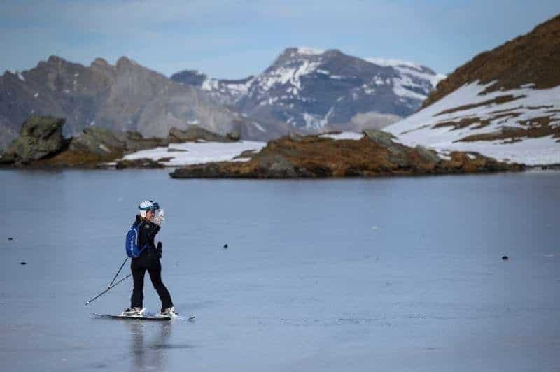
Climate change has drastically changed the landscape of the Swiss Alps at a faster rate than expected. The melting of glaciers created more than 1.000 new mountain lakes, according to a study published Monday.
To be more precise: the inventory of Swiss glacial lakes shows almost 1.200 more new lakes. They were in previously glaciated regions of the Swiss Alps, and had been since the end of the Little Ice Age around 1850.
That's far more than the few hundred that researchers expected to find at the start of the project.
Surprising and distressing
“We were surprised by the numbers,” he says in a statement Daniel Odermatt, head of the Eawag Remote Sensing group that conducted the study in the Swiss Alps. The "marked acceleration of formation" is also surprising, underlining that "180 lakes have been added in the last decade alone".
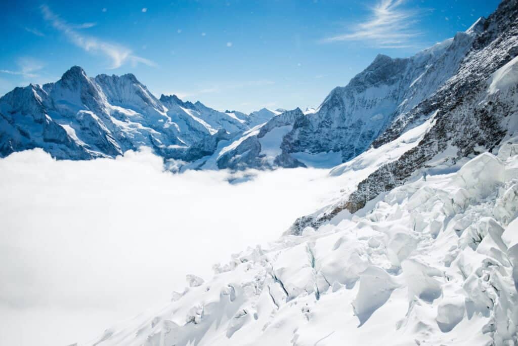
According to an annual study published by the Swiss Academies of Sciences, glaciers in the Swiss Alps are in constant decline, losing as much as 2% of their volume last year alone.
Even if the world were to fully implement the 2015 Paris Agreement (which calls for limiting global warming to at least two degrees Celsius. Never gonna happen) probably two-thirds of Alpine glaciers would be lost, according to a 2019 study by the technical university ETH Zurich.
Swiss Alps, visible evidence of change
The Eawag assessment showed that there was an initial peak in glacial lake formation in the Swiss Alps between 1946 and 1973, when on average almost eight new lakes appeared each year. After a brief decline, the rate of lake formation is increased between 2006 and 2016, with 18 new lakes appearing annually on averageor, while the water surface swelled by more than 400 square meters (4.300 square feet) per year.
This, Eawag said, is “visible evidence of climate change in the Swiss Alps.”
The comprehensive inventory was made possible by large amounts of data collected from Swiss glaciers since the mid-19th century. In total, the researchers were able to draw on data from seven periods between 1850 and 2016.
For each of the 1.200 lakes formed since 1850, scientists have recorded the location, elevation, shape and area of the lake at different times, as well as the type of dam material and surface drainage. Based on that baseline information, researchers can estimate hazards, including the risk of sudden emptying in the event of a dam failure.